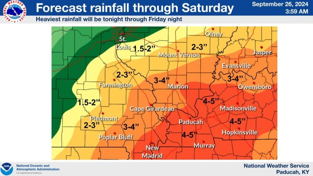
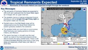
Hurricane Helene is proving to be a prolific rain-maker as it begins to impact Florida and the southern United States, and that rain is expected to make its way to western Kentucky.
The remnants of Helene will likely make its way into our area late Thursday night and linger through the weekend, with the heaviest rainfall set to take place Friday. It could bring with it blustery wind and between four-to-five inches of rain, but Forecaster Derrick Snyder with the National Weather Service in Paducah says they’re not expecting severe weather at this time.
What they do expect is more rain than we’ve seen in weeks, and Snyder says that could easily result in some flooding issues, especially in the usual low-lying and poor drainage areas.
That will probably have a significant impact on our current drought status, which is a plus—due to those dry conditions, most of the rivers and streams will be able to handle the heavy rainfall.
Stay tuned to the WHOP Family Stations for any further updates to this developing weather system, and remember, if you encounter standing water in the roadway, turn around, don’t drown.


