After a lengthy stretch of dry weather, it’s looking like the region might finally be in store for some rain this week, partially thanks to some mischief in the tropics.
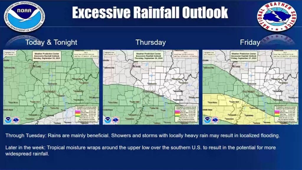
A good portion of the region will start the week off with rain and Forecaster Ryan Presley with the National Weather Service in Paducah says rain could stick around through Tuesday evening, before we get a break Wednesday.
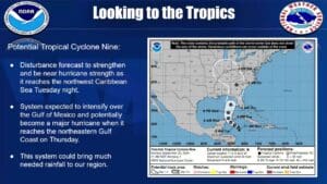
That won’t last for long, as a tropical storm—that could possibly strengthen into a hurricane by the time it makes landfall in Florida—is set to plow its way into our area sometime Thursday, bringing with it enough rain that it could greatly reduce our drought status.
It could bring with it some flooding issues, especially in the usual low-lying and poor drainage areas, but Presley says it will mostly just bring relief to very dry conditions.
There does exist a marginal risk for severe weather with the rain and thunderstorms that move through Monday and Tuesday, with heavy rain and gusty winds the primary threats.
For now, western Kentucky is listed as being in a “severe drought”—though maybe that will change for the better before the week is out.


