As is often the case with tricky winter weather systems, the details remain muddled even 36 hours out, with the National Weather Service in Paducah saying everyone will probably see at least a little wintry mix.
Forecaster Rachel Trevino says this winter system has remained particularly difficult, as the models tend to change rapidly on where exactly the low-pressure systems will track over our area, and even minor shifts in that track can change who gets what precipitation and where. For right now, Trevino wanted to assure that no matter what falls, this is not a 2009 Ice Storm event.
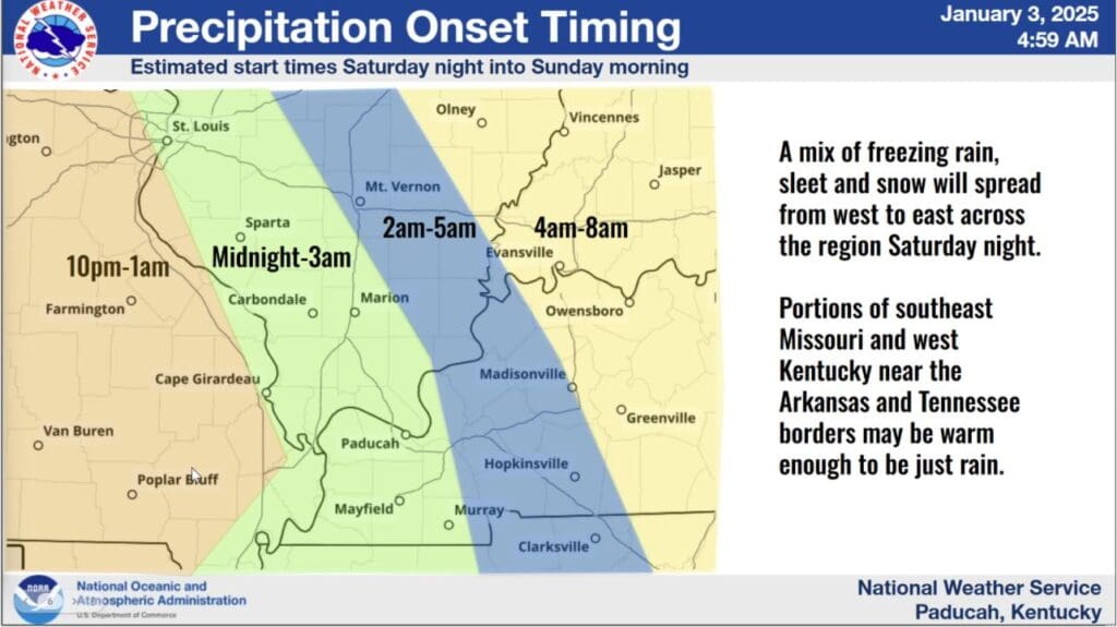
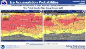
Areas to our north, including a bit of northern Christian County, could receive a good mix of sleet and freezing rain, while areas closer to the Tennessee border might transition from freezing rain to just rain Sunday. The bulk of western Kentucky is now in a Winter Storm Watch from late Saturday night through late Sunday morning
Now the timing—the system is set to move into the western Kentucky area between midnight and 3 a.m. and then in the Christian County area between 2 a.m. and 5 a.m. Sunday morning.
Trevino says they’re expecting most of the region to receive at least minor ice accumulations, but there’s still uncertainty as to where and how much.
What is certain is that shockingly cold temperatures will funnel into the region behind this system, bringing temperatures down into the teens or colder, so people are urged to prepare now for those dangerously cold degrees.


